New European Agency for Spatial Planning
Maps
N/A
“Europe”
2016
This first meeting of a New Agency for Spatial Planning commences with two intentions. The first is to
critique the European mechanisms that have led to the implosion of planning efforts at the national level
and above. The tension between nation states and larger, international groups has always existed in the EU.
The late 20th century produced certain political-economic forces that swung the interest of the European
Union towards discrete national bodies and away from the shared-culture doctrine of the post-war and mid 20th century. As a result, the spatial planning policies which began as part of reconstruction organizations
have largely been dissolved: VROM of The Netherlands exists as part of a transport ministry, DATAR as
a planning group has dissolved, and Germany remains deeply attached to the Länder as the key scale for
determining spatial policy.
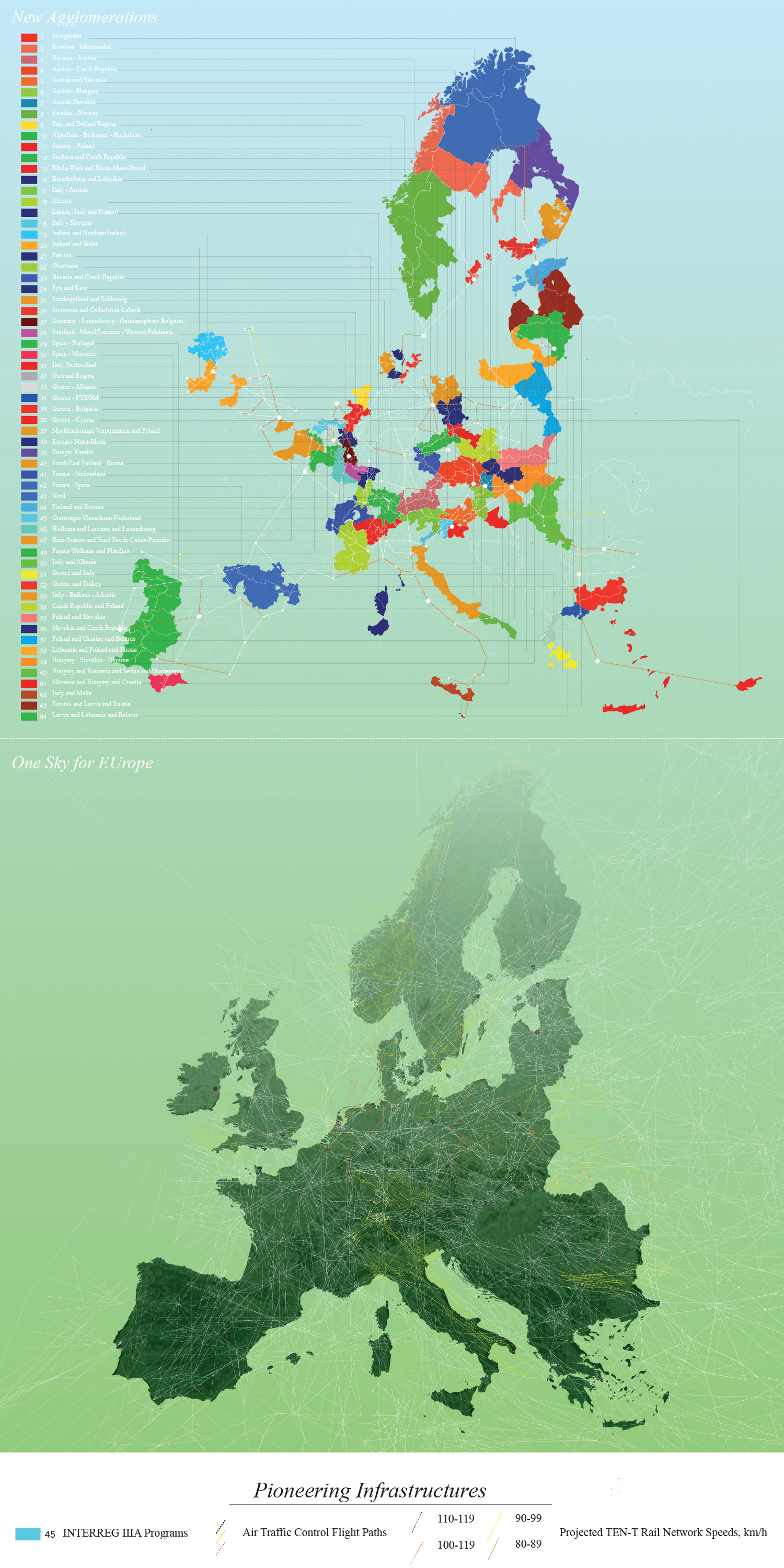
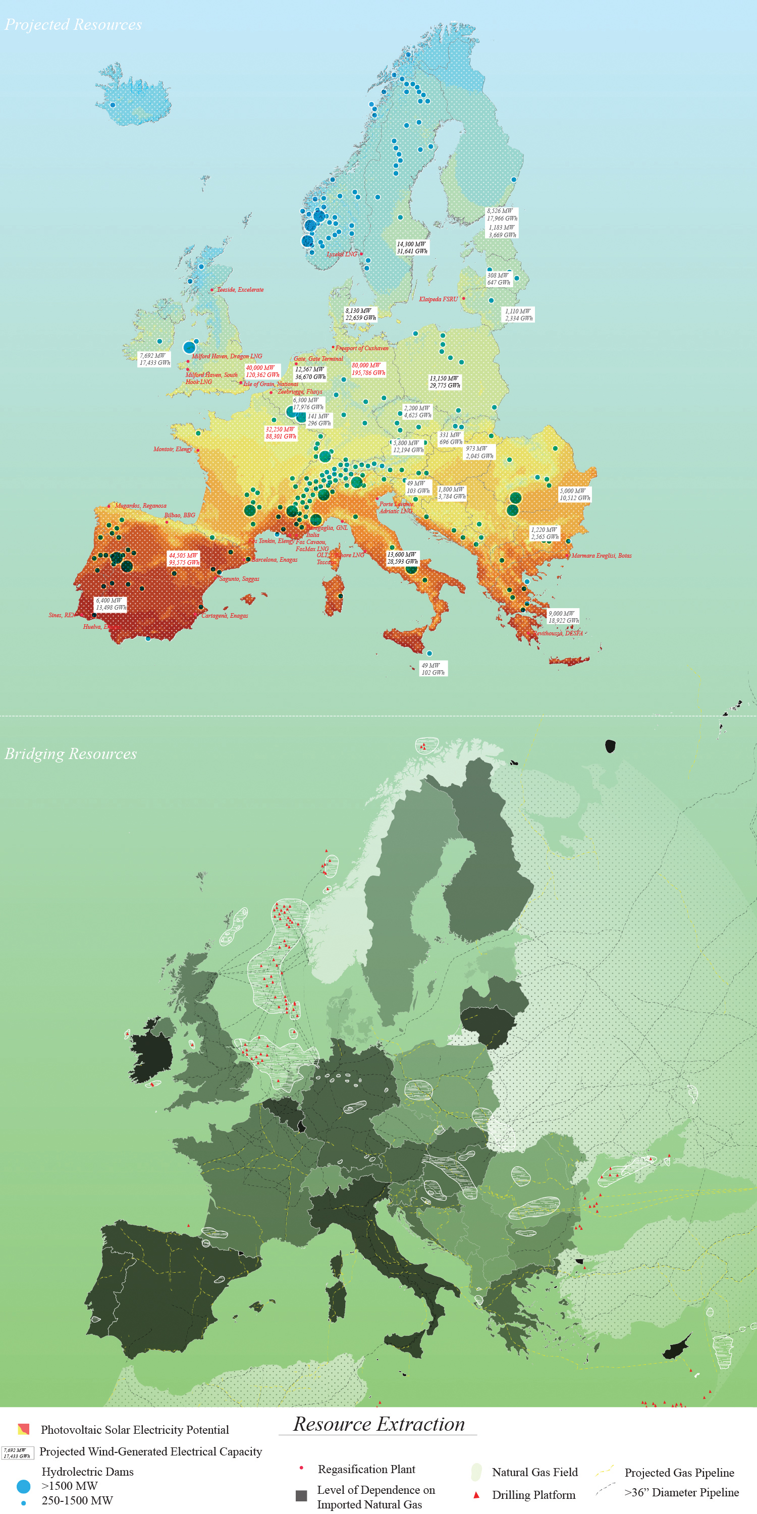
The second intention of this meeting is to consider new maps for the EU. These maps are based on projections by the numerous organizations and agencies active in the Union. Each map hypothesizes on a different priority for spatial planning. The intention for each image is to force a rethinking of the territory by redrawing the map. In this way, certain themes which are politically loaded -ecology, infrastructure, corporate interest- could be seen as slightly disassociated from the context in which they are typically presented.
The second intention of this meeting is to consider new maps for the EU. These maps are based on projections by the numerous organizations and agencies active in the Union. Each map hypothesizes on a different priority for spatial planning. The intention for each image is to force a rethinking of the territory by redrawing the map. In this way, certain themes which are politically loaded -ecology, infrastructure, corporate interest- could be seen as slightly disassociated from the context in which they are typically presented.


